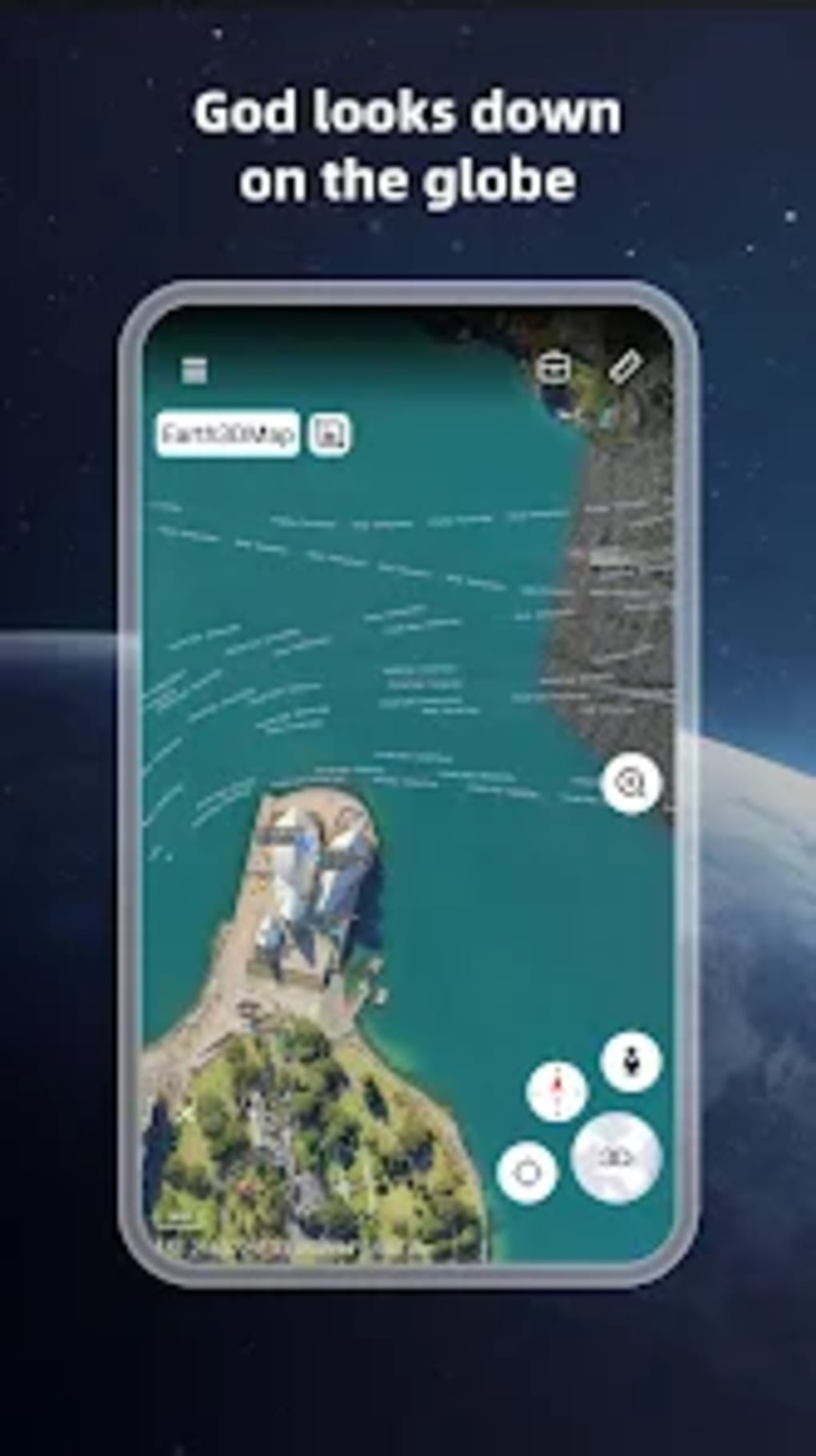
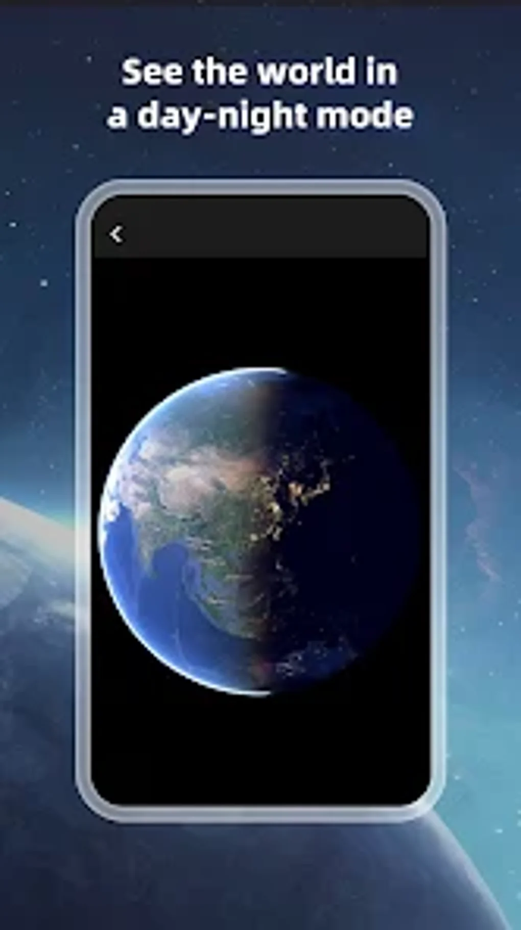
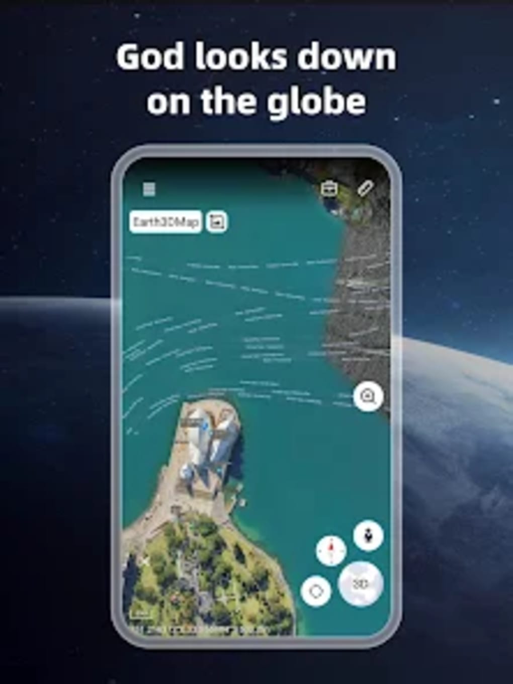
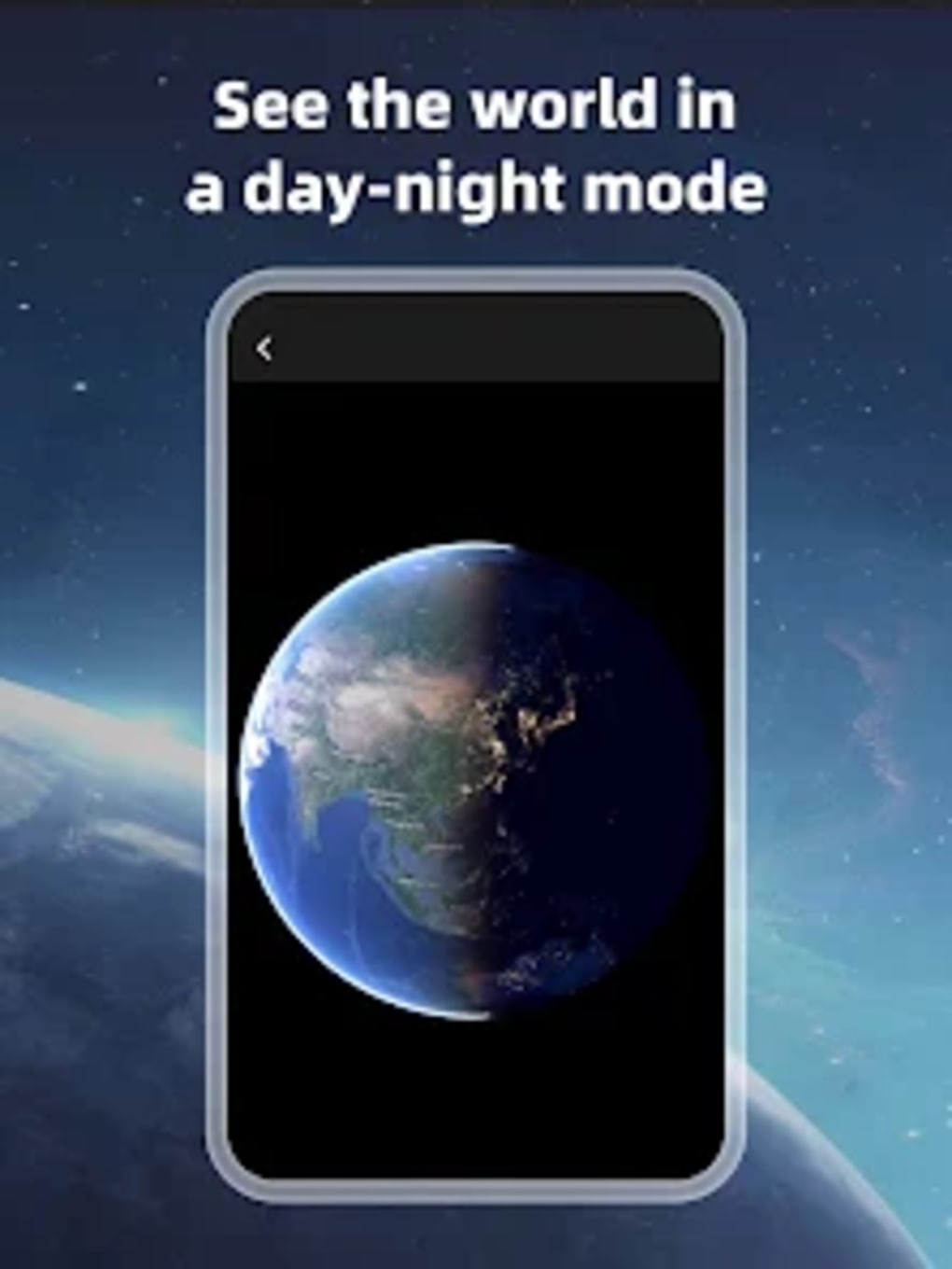
With Earth 3D Map, you can view any place on Earth using high-definition 3D globe photos taken from satellites. This provides a unique advantage over other maps in that you can consider surface terrain, forests, rivers, lakes, buildings, and roads in sufficient detail with a high degree of accuracy.
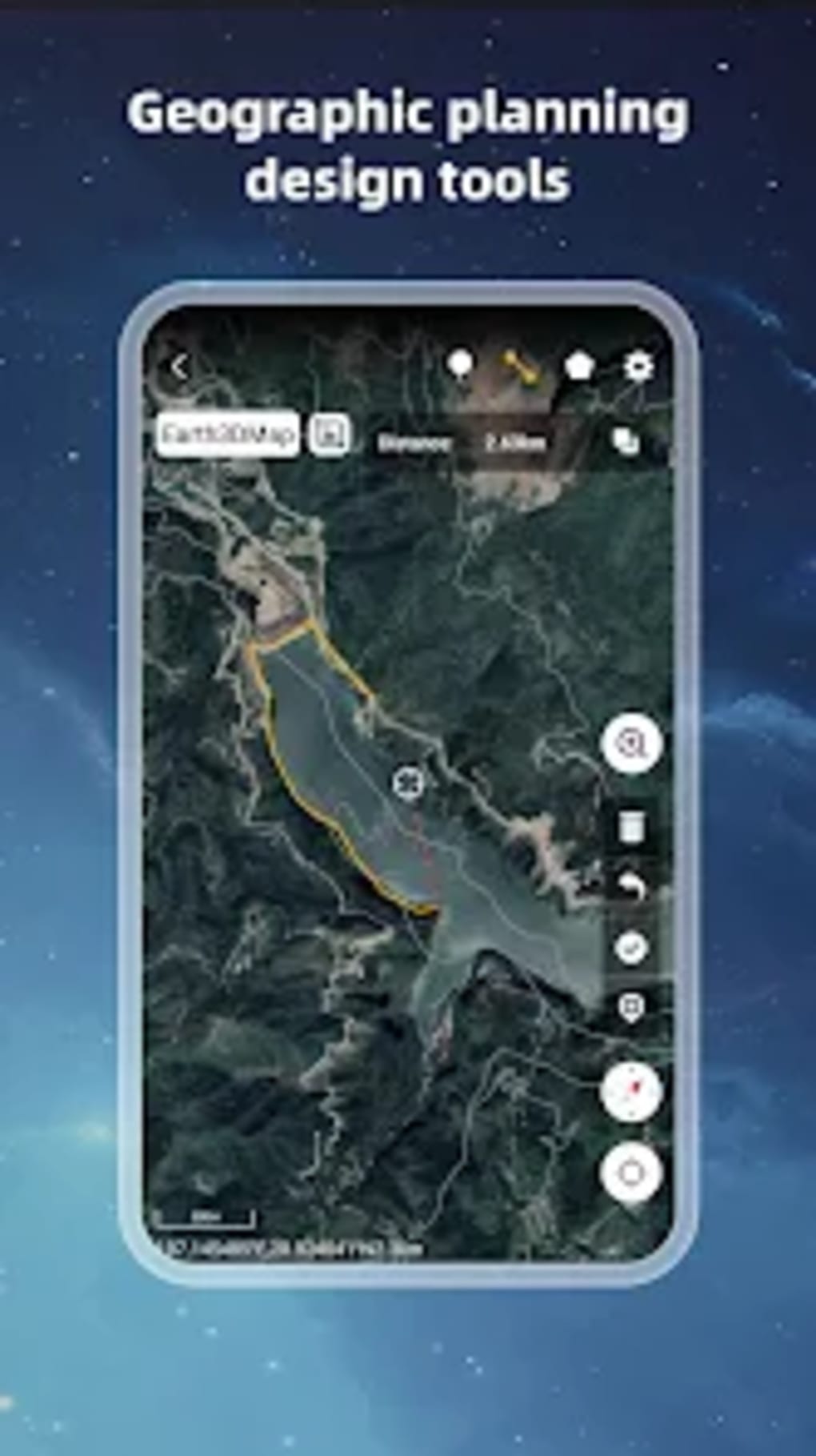
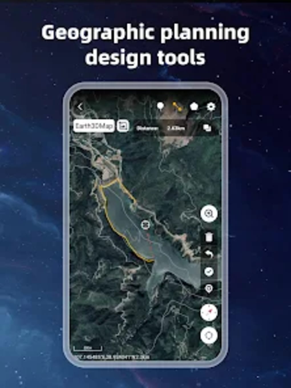
One of the main features of Earth 3D Map is its ability to load map tile data. It also has an oriental compass function that helps you navigate your way around. Additionally, it offers a historical street view, which is a great feature for exploring areas and landmarks. Another useful feature is the ability to measure area distance. Finally, Earth 3D Map provides access to the latest satellite imagery for an up-to-date view of the world.
In summary, Earth 3D Map is a great application for anyone who wants to explore the world from their phone.
Version
2.3.1.7
License
Free
Platform
Android
OS
Android 13.0
Language
English
Downloads
50
Developer
Foxpoi